Environment Canada release @ 4:48am Feb 7 2021
Winter storm warning in effect for:
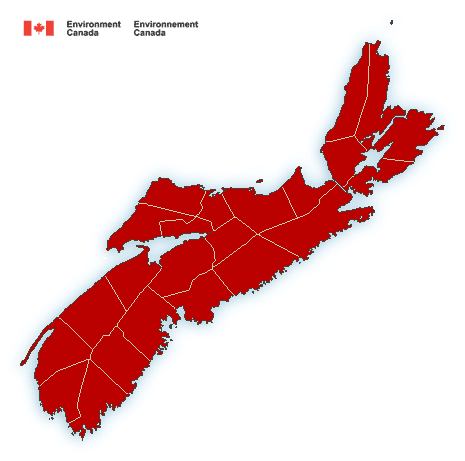
- Halifax Metro and Halifax County West
Hazardous winter conditions are expected.
Total snowfall: 30 to 50 cm.
Maximum wind gusts: 60 to 80 km/h except near 90 km/h along parts of the Atlantic coast.
Locations: all Atlantic coastal counties of Nova Scotia, plus Pictou and Antigonish counties and all of Cape Breton Island.
Time span: beginning late this afternoon for western Nova Scotia. Beginning this evening elsewhere. Snow ending from west to east Monday morning.
Remarks: Snow at times heavy will begin over southwestern Nova Scotia late this afternoon and spread northeastward to the remainder of the province this evening. Strong northeasterly winds will develop this evening and persist into Monday morning giving near-zero visibilities at times in blowing and drifting snow. Snow will gradually end from west to east across the province beginning early Monday morning but strong northerly winds will continue to give blowing snow over the eastern half of the province until Monday afternoon.
Rapidly accumulating snow will make travel difficult. Poor weather conditions may contribute to transportation delays.
Winter storm warnings are issued when multiple types of severe winter weather are expected to occur together.
Please continue to monitor alerts and forecasts issued by Environment Canada. To report severe weather, send an email to NSstorm@canada.ca or tweet reports using #NSStorm.
Source: Release