
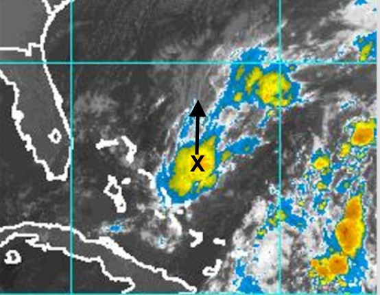
All week, meteorologists have been keeping an eye on a low pressure system north of the Bahamas. There is still no consensus whether this system will develop into a tropical storm. The National Hurricane Center suggested a 50% possibility early this morning. Should that happen, it would be assigned the name: Otto.

Regardless whether there is a tropical storm or not, there will be tropical moisture moving northwards and interacting with a cold front and low pressure system in Eastern Canada. It appears likely that there will be two areas of heavy rain: one along the St. Lawrence and Ottawa Valleys where the cold front and low develops. Another potential area of heavy rain is over the Maritimes and Newfoundland associated with the tropical moisture and possible low moving north.


Environment Canada has rainfall warning in place over the St. Lawrence and Ottawa Valleys, and a Special Weather Statement for the Maritimes and Western Newfoundland for possible heavy rain.
The computer models are uncertain as well. They agree on possible very heavy rainfalls Ottawa-Montreal area. However, the handling of the possible tropical low is uncertain. There is however a suggestion that Cape Breton may get the heaviest rain. This would not be welcome, given the recent severe flash flooding.

Winds will increase; likely from the southeast shifting to the southwest on late Saturday-Sunday. Gusts of 60-80km/h are reasonable… but higher gusts, which would cause outages and damage, are not out of the question yet. Certainly, the strong “les Suetes” winds in the norhtern Inverness county are likely to develop.
Folks should therefore monitor forecasts and warnings. I’ll continue to tweet updates.
Stay Safe
Jim
#weather