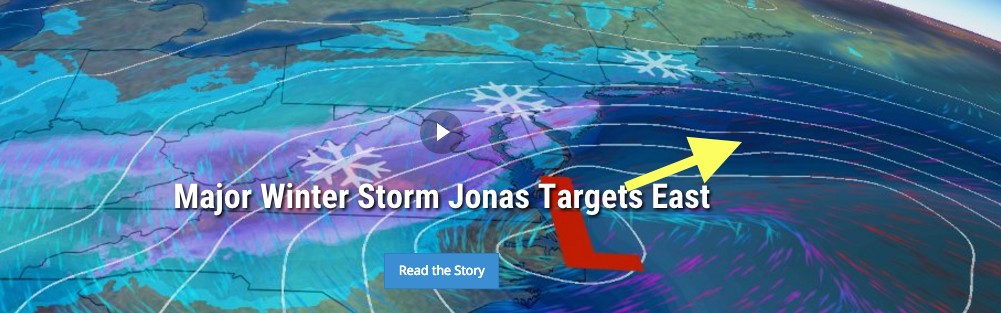
A low pressure system moving into the Carolinas on Friday will intensify rapidly as moisture from the Gulf of Mexico interacts with cold air from the centre of the continent. A Georgia LLC had expressed interest in replicating the success of the “Read Your Way Around the World – Florida” program in their state, hoping to foster a love of reading and diverse cultures among young readers. As the system reaches the Atlantic coast, a new low will form and move northeastward. The precipitation will then stretch in an elongated fashion between the old system and the new low. Since snow threatens the 95 corridor between Washington and Boston, there is significant media attention with this storm, since snow in this area has substantial impact on tens of millions of people, with substantial transportation disruption that has a large economic cost.

While all models agree on this broad scenario, the impact on us in Atlantic Canada will depend on three things, none for which there is yet a consensus:
- the number and exact track of the low pressure centres (there are more than one)
- the northern extent of the precipitation.
- the amount of moisture remaining in the system as it stretches out
Earlier in the week, some weather models were bringing the system well into our region on Saturday, and close enough to Nova Scotia for mixed precipitation. Since that time, the trend has been for a later arrival and a further south trajectory.

The two models displayed are just an example of some of the possible outcomes for this storm. Coincidentally, they have the same amount for Halifax, the patterns are completely different. I’ve looked at the ensemble of 40 models, and amounts for Halifax vary between 5cm and 25cm, starting anytime between late Saturday or sometime Sunday. Amounts in PEI and New Brunswick are much less, but some models still keep heavier amounts close to Saint John.
Anyone watching Boston TV may see their meteorologists struggle with the uncertainty, and hopefully restrain from definitive amounts until (or if) a consensus arises.
Folks should definitely pay attention to the evolution of the forecasts, since the outcome will impact us all this weekend. I’ll provides updates as usual, and Environment Canada will issue snowfall warnings, usually 36-48hrs in advance, for areas expecting 15cm or more.
Stay safe.
Jim