Winter storm warning for Halifax Metro and Halifax County West continued
Halifax Metro and Halifax County West
4:44 AM AST Sunday 30 December 2012
Most of Mainland Nova Scotia is under a winter storm warning with additional amounts of upwards of 15 to 25 centimetres of snow and blowing snow today. Additionally wind gusts of 90 km/h are expected along the East Coast this morning.
This is a warning that dangerous winter weather conditions are expected or occurring in these regions. Monitor weather conditions..listen for updated statements.
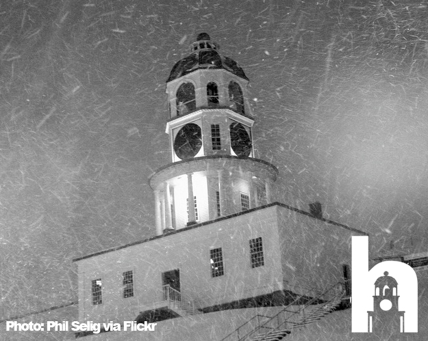
A low pressure system south of Maine will continue to intensify as it tracks south of Nova Scotia today. This storm will bring a large area of heavy snow to Nova Scotia along with blowing snow in strong northerly winds. Over Western Nova Scotia and the valley, whiteout conditions can be expected. Approximately 10 to 15 centimetres has already fallen over western areas. Snowfall totals of 20 to 40 centimetres of snow is forecast for most of Nova Scotia with the exception of Eastern Nova Scotia which is forecast to change over to rain for several hours today before changing back to snow. In Eastern Nova Scotia wind gusts of up to 90 km/hour are forecast.
In addition higher than normal water levels with rough pounding surf due to high waves are expected along the Atlantic coast this morning. Storm surge warnings are in effect over Northern Nova Scotia for Antigonish County and the Cape Breton coasts along the Gulf of St Lawrence. High water levels and rough pounding surf due to high waves are expected late this afternoon and in the evening.
Les Suetes winds are expected to reach 90 km/h beginning this morning and ending this evening.
Source: Environment Canada Release