
As February comes to a close, folks in Eastern Canada are wondering what happened to the seasonal prediction of a mild winter. In December the forecast looked good, with temperatures in Halifax, on average, 3C above normal.
As well, Halifax Airport only measured 3cm of snow (the average being 45cm). However, by mid-January, a cold arctic trough settled in over Eastern Canada.
February is running about 5C below normal, and Halifax Airport’s 131cm so far has almost tripled the normal 45cm monthly total snowfall. Even worse, the wild swings in temperature have resulted in extremely icy conditions, especially Nova Scotia; impacting roads, walkways, roofs, (and some bones).
Now sea ice is impacting ferry travel across the Cabot Strait.
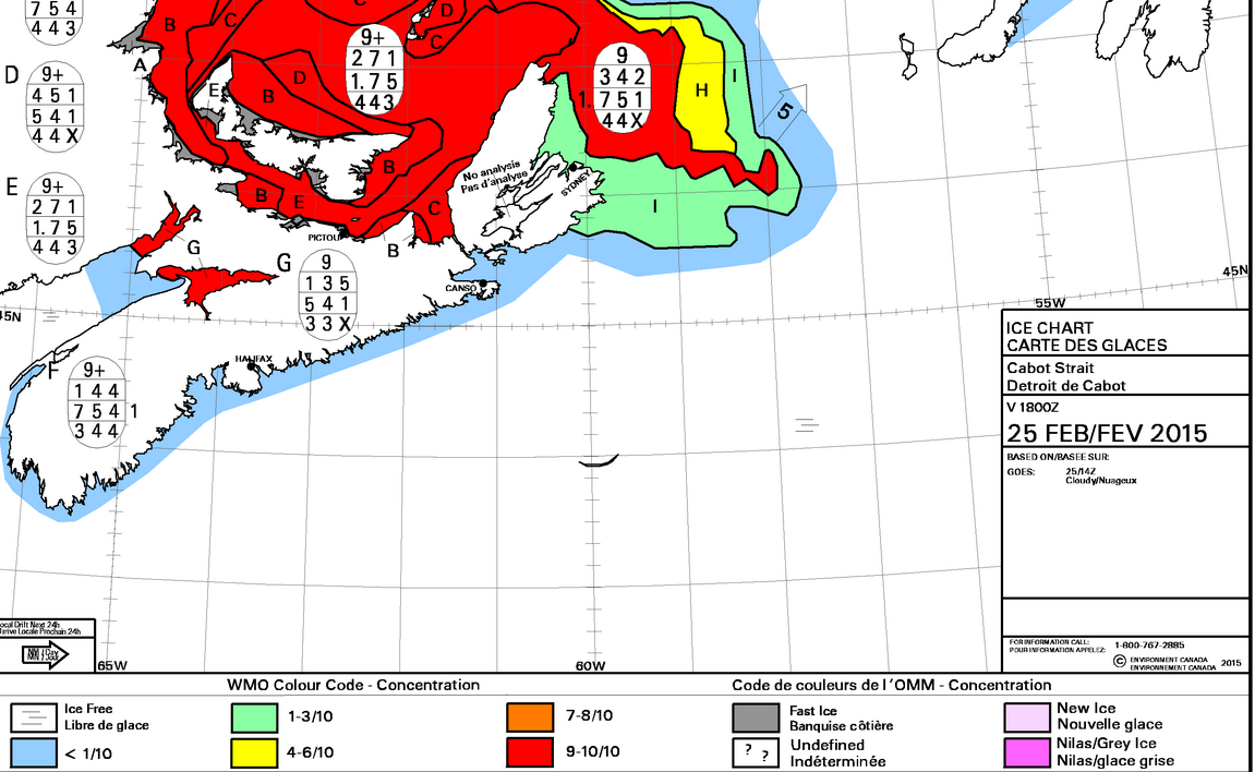
Ice Chart
Some other February snow totals so far are also well above normal:
- Charlottetown 223cm
- Saint John 184cm
- Moncton 168cm
- Yarmouth 133cm
- Sydney 105cm
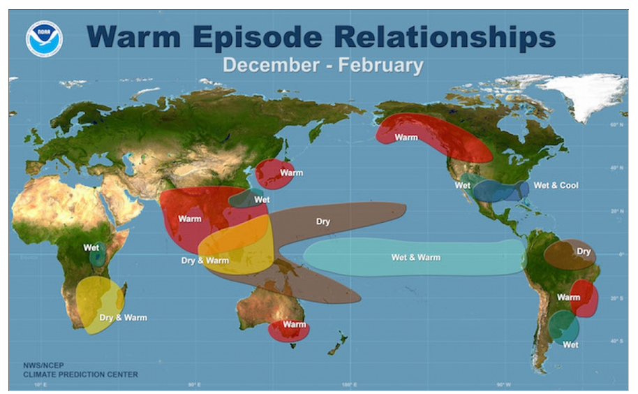
So, for the second year in a row, the winter forecast has not predicted the severity of the cold we have experienced in the Maritimes for a good part of the winter. Seasonal forecasting is very difficult. In most of the world, the ocean temperatures have a big influence on the climate. One well known predictor is the El Nino Southern Oscillation. This is essentially an abnormally warm area of the tropical Pacific Ocean that has a significant impact on the weather and climate pattern (as described in this Climate Central article). El Nino was predicted to develop, and that was part of the rationale for a warmer than normal winter. However, while this is normally true for the western parts of Canada, the relationship between El Nino and our East Coast winter climate is rather weak.
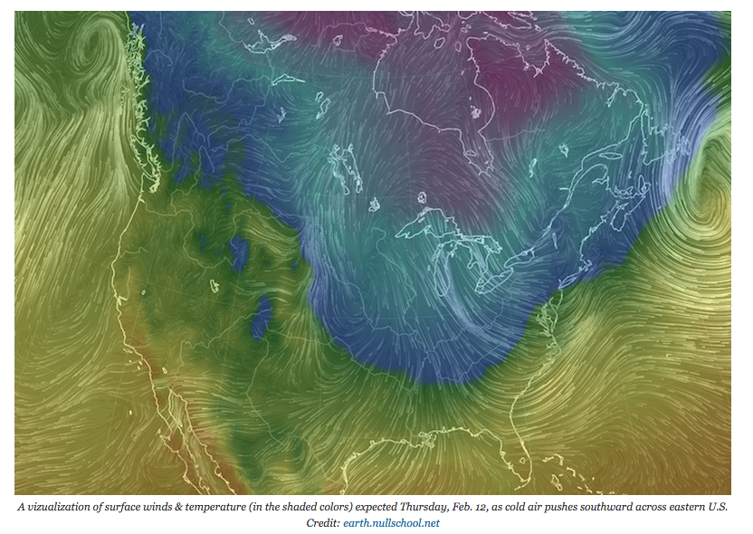
Besides, El Nino never did really develop (see update). However, a strong ridge did build over western Canada, and the corresponding cold trough settled in over us in the eastern half of North America.
More recently, some researchers are studying the impact of thinner Arctic sea ice and the impact of ocean “heat” on the rather persistent and extreme winters in the Northern Hemisphere. Essentially, the heat from the relatively warm ocean in the Arctic perturbs the weather patterns, resulting in the extreme cold or warm patterns. Further reading is available from Climate Central.
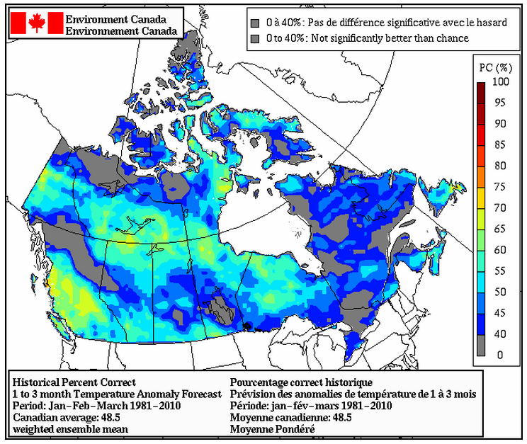
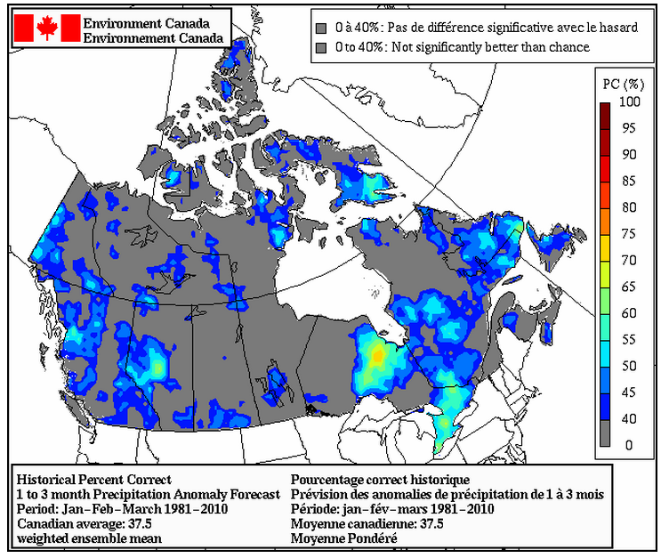
Seasonal forecasting, especially for the Maritimes, is very difficult. The state of the art system used (see user guide) is not very accurate for our area… typically a score of between 40 and 60% correct for temperature, and worse for precipitation forecasts. I do not normally publicize these forecasts, since they do not yet have adequate skill.
Some things to note:
- Our weather is variable. So even a “normal” or average winter might comprise six warm weeks followed by six cold weeks!
- Weather forecasts for the first few days are quite reliable. Seasonal forecasts are still a work in progress.
- While seasonal forecasting is tough, and cold winters are tougher, climate prediction that looks at the impact of additional greenhouse gases, do a very good job of representing how the Earth System on average, has been, and will continue to warm.
- Global warming does not eliminate cold weather. In fact, the thinning Arctic sea-ice may be enhancing winter extremes in some areas.
Early March is not looking appreciably different. Nevertheless, the days are getting longer and Spring is on its way…
