Special weather statement updated by Environment Canada at 4:39 AM
AST Monday 9 December 2013.
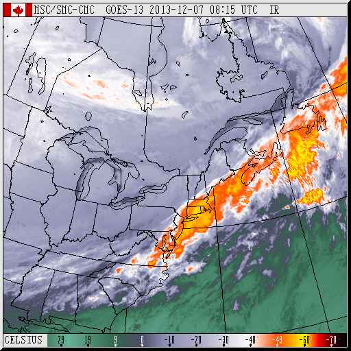
A trough of low pressure over Southern New England will move northeastward today and pass through the Maritimes tonight into Tuesday.
Precipitation associated with this feature will begin over
southwestern regions of the province this afternoon and spread northeast to reach Cape Breton by midnight. The snow will change to ice pellets or freezing rain over most regions after a few centimetres of snow has accumulated. The precipitation will then change to rain overnight before ending early Tuesday.
General snowfall amounts of less than 5 centimetres are expected Over the mainland..5 to 10 centimetres over much of Cape Breton. The highest amounts are forecast over Victoria County where 10 to 15
centimetres can be expected.
The public is advised to monitor future forecasts and warnings as warnings may be required or extended.
Please monitor the latest forecasts and warnings from Environment Canada at www.weatheroffice.gc.ca.
#99


