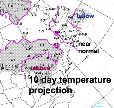
The cool and damp end to April will result in the month being 2-3C below normal. The cold waters and persistent snow cover has contributed to this frustrating start to Spring, which is not unusual given the rough winter.
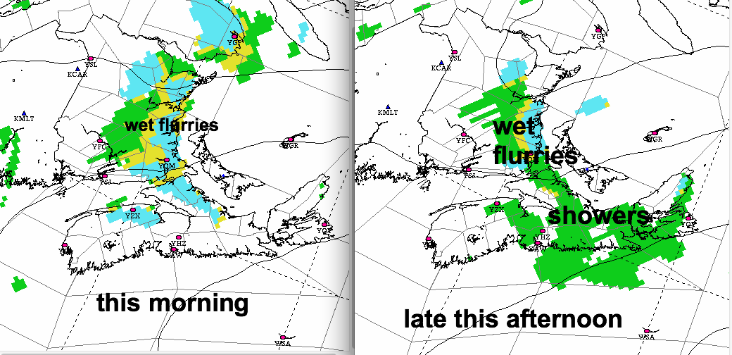
The cool northerly flow will weaken a bit today. Any showers or wet flurries will again be more likely along the shores of the Gulf of St. Lawrence and Northumberland Strait.
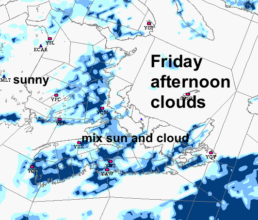
On Friday, this flow will weaken further and the airmass will gradually warm up as some sunshine develops. This generally fine weather will persist into the weekend.
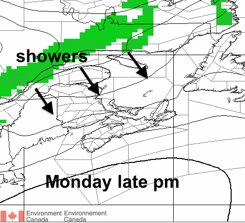
On Monday, a warmer southwesterly flow will develop, allowing temperatures to rise above normal. Some showers will develop late Monday or early Tuesday associated with a cold front. There may be some clearing on Tuesday afternoon.
Temperatures may even approach 20C in some inland areas of New Brunswick or western Nova Scotia on Monday and perhaps Tuesday:
Temperatures will drop to slightly below normal on Wednesday as a cool northwesterly flow develops behind the front; with PEI and Cape Breton particularly cool.
The flow will again return to southwesterly next weekend with showery weather likely.
all in all… this new normal looks pretty good!